Hydrogeological Studies of Wetlands in the Chilean Altiplano

The presence of wetlands in the altiplano of northern Chile is due to azonal1 conditions (soil type, hydric dynamics, etc.), which allow vegetation to develop locally and limited to the geographic space that meets these conditions. In Chile, these systems are known as Azonal Terrestrial Hydric Vegetation Systems (SVAHT, by its Spanish initials). 

Although this type of system shares the characteristic of requiring a permanent water supply with a strong seasonal influence (liquid precipitation and snowmelt), each SVAHT has its own particular dynamics. It is therefore necessary to understand their hydrogeological conditions in order to avoid impacts caused by industrial activity to be carried out in nearby areas.

Groundwater is usually the basal hydric component of SVAHTs, with a stable supply flow throughout the year. Therefore, characterizing the aquifer 2 that feeds the vegetation system is essential for environmental assessments and subsequent water-resource management strategies.

From a hydrogeological perspective, the study of a SVAHT requires identifying the water inputs that sustain its occurrence, which can be approached using two concepts:

1.      Piezometric surface: This corresponds to the upper boundary of an aquifer, that is, the depth from the ground surface at which the water level is found. The piezometric surface makes it possible to recognize flow directions and hydraulic gradients.
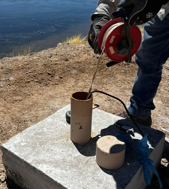
Piezometry is determined by monitoring the depth of the water level in wells and/or shallow wellpoints [BL3] around the area of interest. Usually, shallow levels tend to show seasonal and even daily variations, so proper data collection is essential to understand these types of variations.

Medición de profundidad de nivel en puntera para piezometría

Figure 1: Measurement of water-level depth in a wellpoint for piezometry.

2.      Hydrochemical signature: The chemistry of the water (pH, electrical conductivity, major and trace elements, etc.) must be characterized both in the SVAHT itself and in the identified sources of inflow, with the aim of understanding water types, changes in chemical composition, and determining connection or disconnection between sources. Likewise, understanding the hydrochemistry of the water makes it possible to qualitatively estimate the relevance of each contribution.
To determine the hydrochemical signature of the water, in-situ measurements of physicochemical parameters and laboratory analysis of water samples are required. The proper selection of hydrochemical control points is important for establishing the hydrogeological dynamics of the system.

Figura 2:	Diagrama de Stiff para representar la marca hidroquímica de dos puntos: Punto A aguas arriba de punto B muestra enr

Figure 2: Stiff diagram representing the hydrochemical signature of two points: Point A upstream of Point B shows ion enrichment.

In summary, a hydrogeological study of SVAHTs seeks to determine the origin of the groundwater that sustains the occurrence of vegetation and to establish the temporal evolution of the hydrogeological system, in order to understand the susceptibility of the vegetation to possible variations in the quality or quantity of these sources.


[1] Azonal: not dependent on a climatic zone or geographic altitude for its formation.

[2] Aquifer: geological formation that allows the storage and circulation of groundwater.

[3] Wellpoint: shallow groundwater intake, generally less than 2 meters deep.