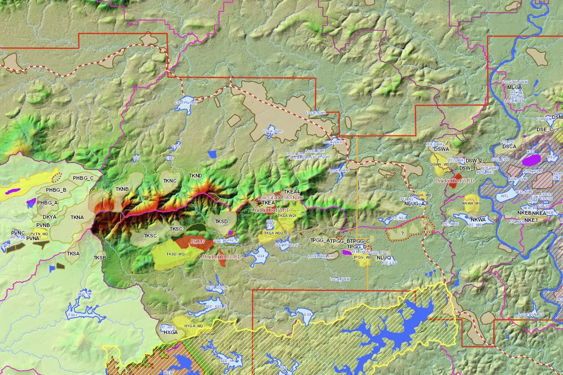
Our experts provide geographic information system (GIS) services and solutions that solve a wide variety of challenges. Using GIS, we generate professional cartographic mapping products and perform detailed spatial analyses.
Based on our team’s extensive experience, we also assist with more detailed applications—such as visual impact assessments—and with advanced data management. In addition, SRK hosts numerous web mapping applications that offer our clients and internal teams an intuitive and user-friendly platform on which to view their data. This gives our GIS team a sense of ownership, promoting collaboration between our team members wherever they are located around the globe.
Our GIS consultants strive to continually embrace and develop new technologies that improve efficiencies throughout the company. One such innovation, that we’ve developed on the mobile device front, facilitates data collection and mapping in the field. By working in a connected environment, our staff and clients can easily collect and share data with nearly any device on the internet.
Services:
- Database and geodatabase management
- Data visualization
- Web mapping
- GIS analytics
- 2D and 3D spatial analysis
- Mobile field data collection
- Visual impact assessments
- Application development
Our consultants have the multidisciplinary expertise, global knowledge, and operational experience to maximize your project's success.